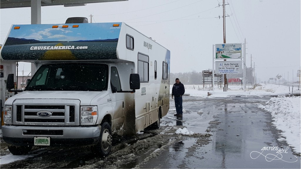
We rented an RV in Denver, Colorado and after shopping for basic supplies, drove into the Rocky Mountains. We covered about 360 miles during our first three days on the road and our route took us out of the snowy areas and all the way south over the state line into New Mexico.
If you missed Part 1, you can catch up here: RV Life – Rental Road Trip (Part 1).
Day 4: Navajo Dam, NM to Durango, CO – 186 miles

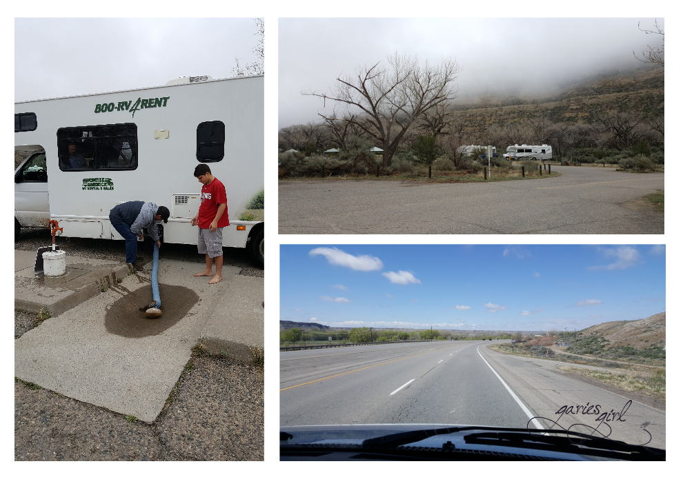
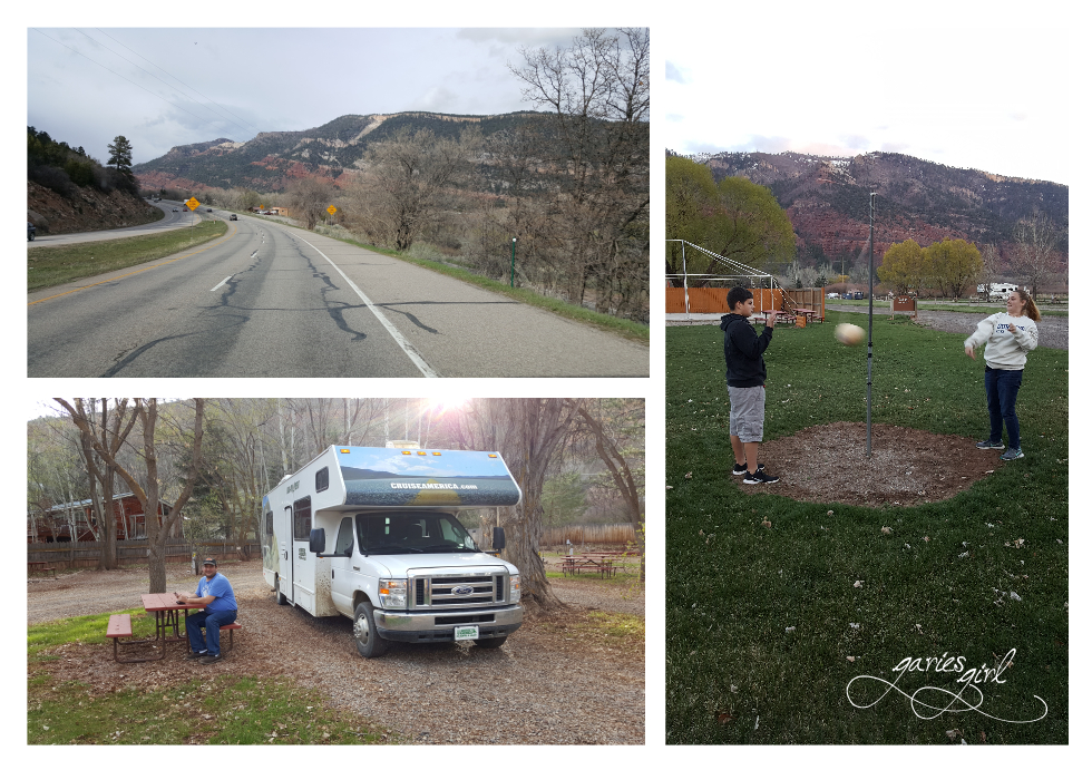
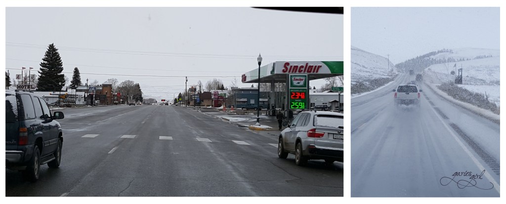
It was a cloudy and grey morning and we wanted to get on the road early. After a quick breakfast, we left our site to make a quick stop at the camp’s dumping station. By now Pieter and Simon were very comfortable with this unpleasant housekeeping task and got it done in record time. The clouds cleared very early and we were able to take in the New Mexico scenery. It reminded me a lot of Garies, where I grew up. Mostly brown with low, green-brown bushes. You could see for miles especially since there are no big trees blocking your view.
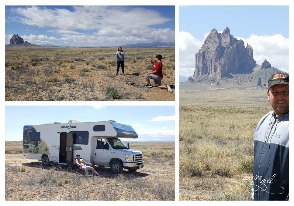
We reached the small town of Shiprock and took the turnoff to get closer to Shiprock Peak, one of New Mexico’s most iconic landmarks. Since everything is so flat in this region, you can easily see Shiprock Peak from miles and miles away. Once magma cores of ancient volcanoes, most of the peaks have now been weathered down. Shiprock, and a few others, are highly visible against the red, sandy desert surrounding it. It is an impressive landmark for sure and rises 180 feet above the plain.
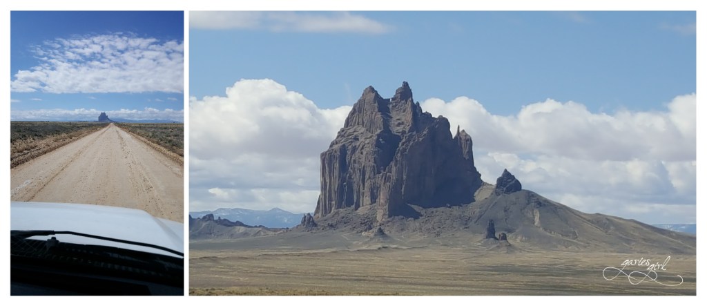
We followed the dirt road recommended by Google Maps which later turned into a much smaller path. It got a bit rough and as soon as we were close enough for some photos, we decided to stop.
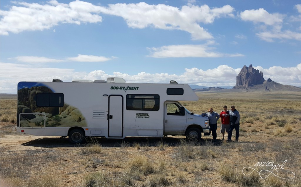
We stayed here for a while, listening to the sounds and taking in the scenery. And of course take some more photos! Simon even recreated a scene from Breaking Bad (a show he wasn’t allowed to watch at the time). A beautiful landmark indeed.
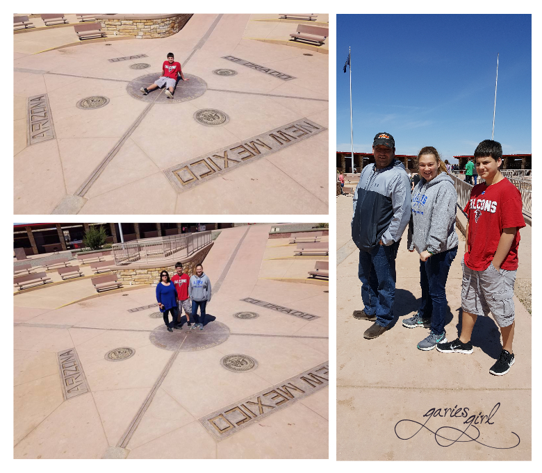
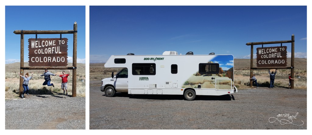
Soon we were back on the road and heading towards the Four Corners Monument. This is the spot where four states meet. Colorado, New Mexico, Arizona and Utah. It is a popular tourist destination, even though it isn’t close to any towns. We had to wait in line a bit to take our pictures right at the center of the monument, but it was nice to be around people again. Local Navajo and Ute artisans sell souvenirs and food on the outside boundaries of the monument and we walked around for a while taking in all the sights.
We got to our RV and headed back into the mountains of Colorado and the city of Durango.
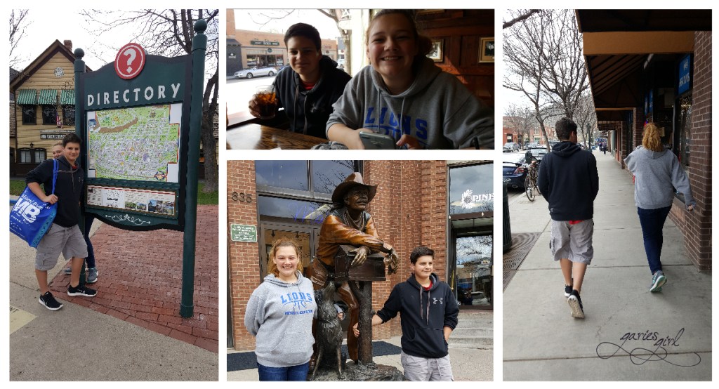
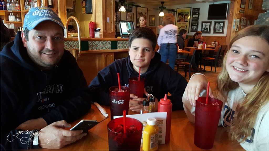
We had a late lunch at an Irish Pub, walked around and even shopped a little. Durango is a popular year-round tourist destination. The town was started in September 1880 by the Denver & Rio Grande Railroad in an effort to reach Silverton to the north and provide service to the San Juan mining district. Today, the historic town features galleries, boutiques, restaurants, bars, and other businesses along Main Avenue. There are two historic hotels, The General Palmer and The Strater, and there is a depot for the Durango & Silverton Narrow Gauge Railroad, which was unfortunately closed this time of the year.
We booked a spot at the Alpen Rose RV Park, which is located north of town next to the road towards Silverton, which was where we were heading next. We spent a quiet evening at the park.
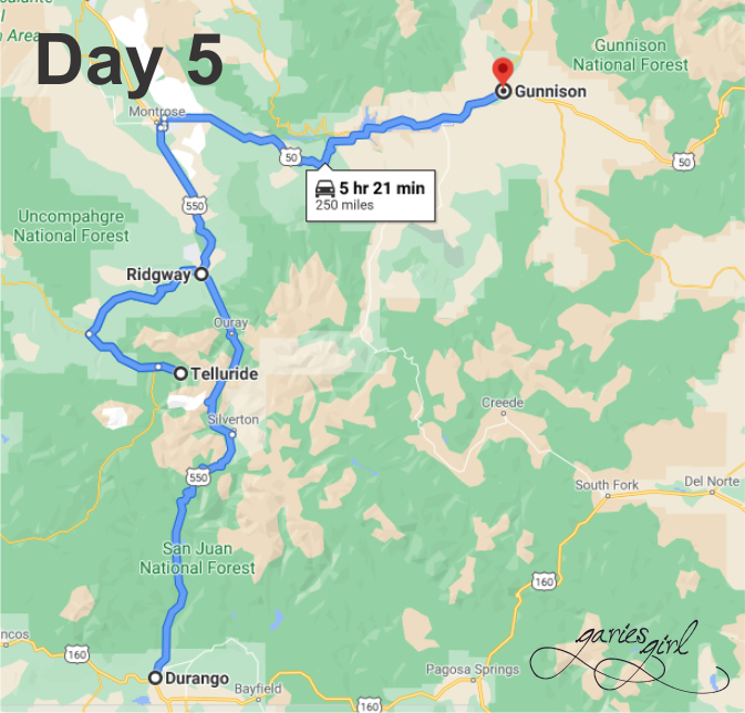
Day 5: Durango, CO to Gunnison, CO – 250 miles
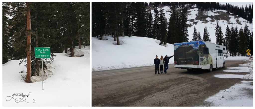
We set out early to predictions of another snow storm coming in, with the goal to make it over a couple of mountain passes and get a bit more north. There was no snow at our RV park, but as we drove higher into the mountains, we started seeing more and more of it again. We stopped at the top of our first mountain pass of the day, Coal Bank Pass, to take in the views.
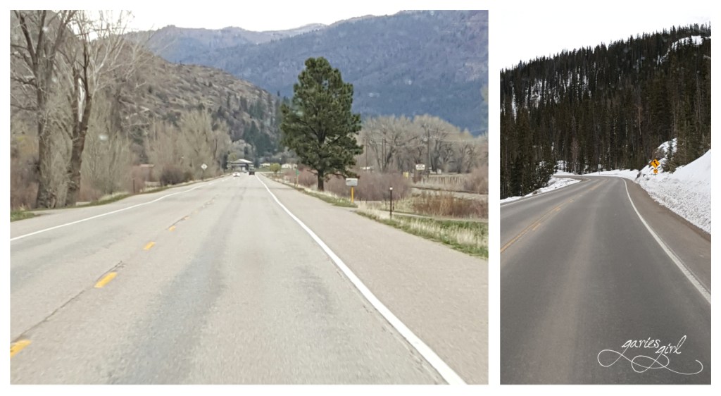
While driving towards Silverton, we could see the railroad down in the valley. Most of it was covered with snow though. It was still easy to see why this would be a beautiful trip to take during the summer months.
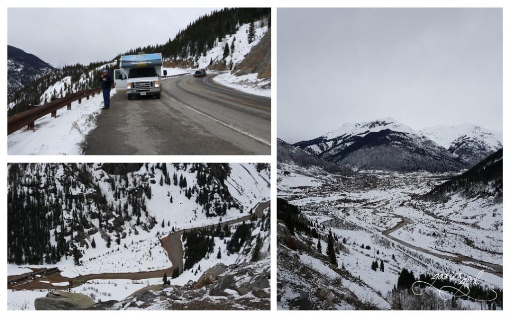
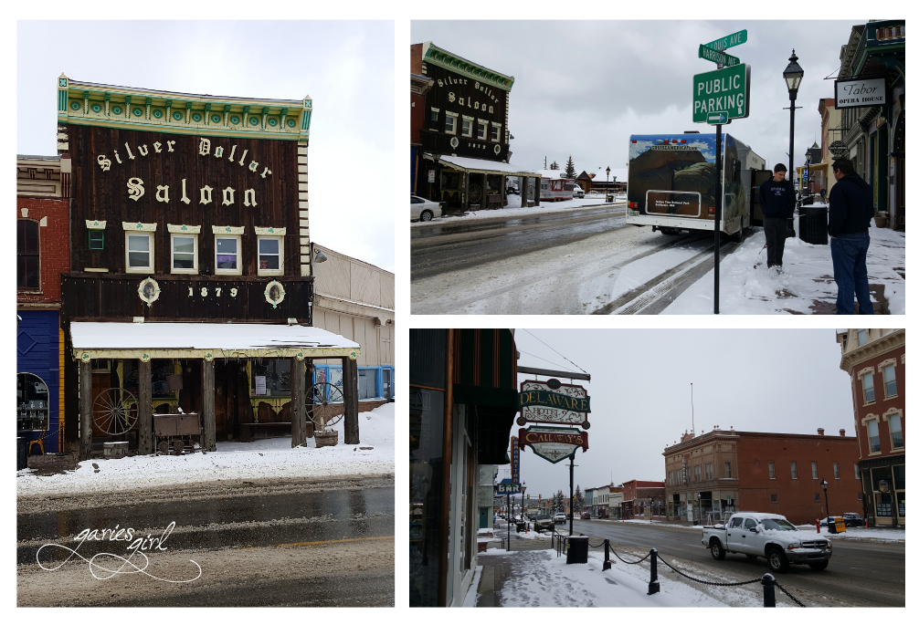
The town of Silverton lies just on the other side of Coal Bank Pass and is a beautiful little place. Once a bustling silver mining town, it now relies mostly on tourism. It is remote, that is for sure, and the valley the town is located in, is surrounded by steep peeks, or what they also call thirteeners (more than 13,000 feet in elevation). The town itself was designated a historical landmark in 1961.

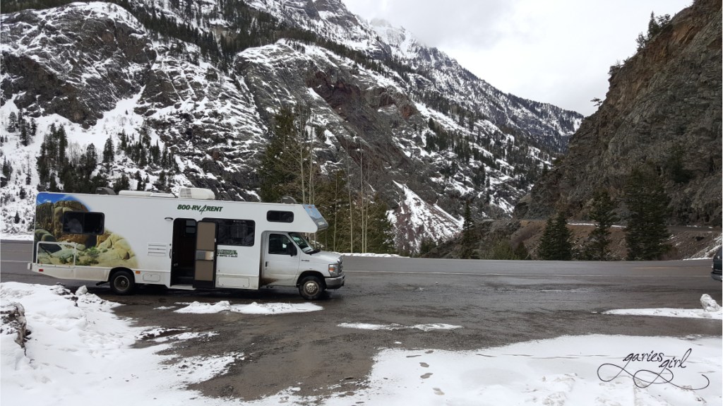
We continued along Million Dollar Highway and crossed the Red Mountain Pass before the approaching storm. We passed through Oray, and all the way to Ridgway, CO. Here we stopped for lunch at a great little place called the True Grit Café. It was nice to sit and people watch for a while.
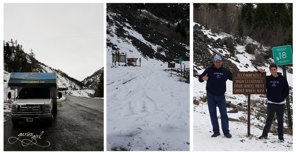
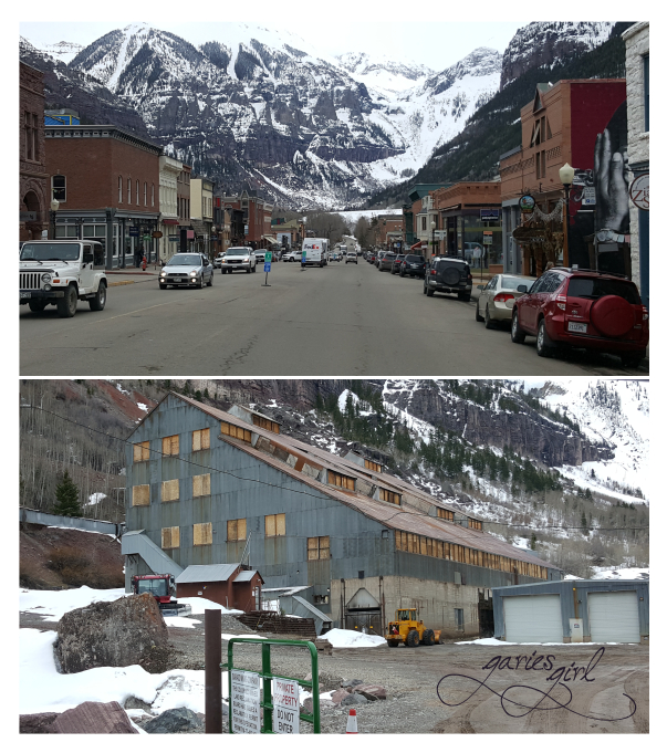
We decided to take a side trip and see Telluride, CO while we were so close. It was a little out of the way, but it was an opportunity to see a former mining town now known for world class skiing. Back in the day, the area’s mines provided zinc, lead, copper, silver, and other gold ores. A large portion of the current town is one of Colorado’s 20 National Historic Landmarks. Maybe worth a mention, but they are also known for plenty of summer festivals, including a Hot Air Balloon Festival in June.
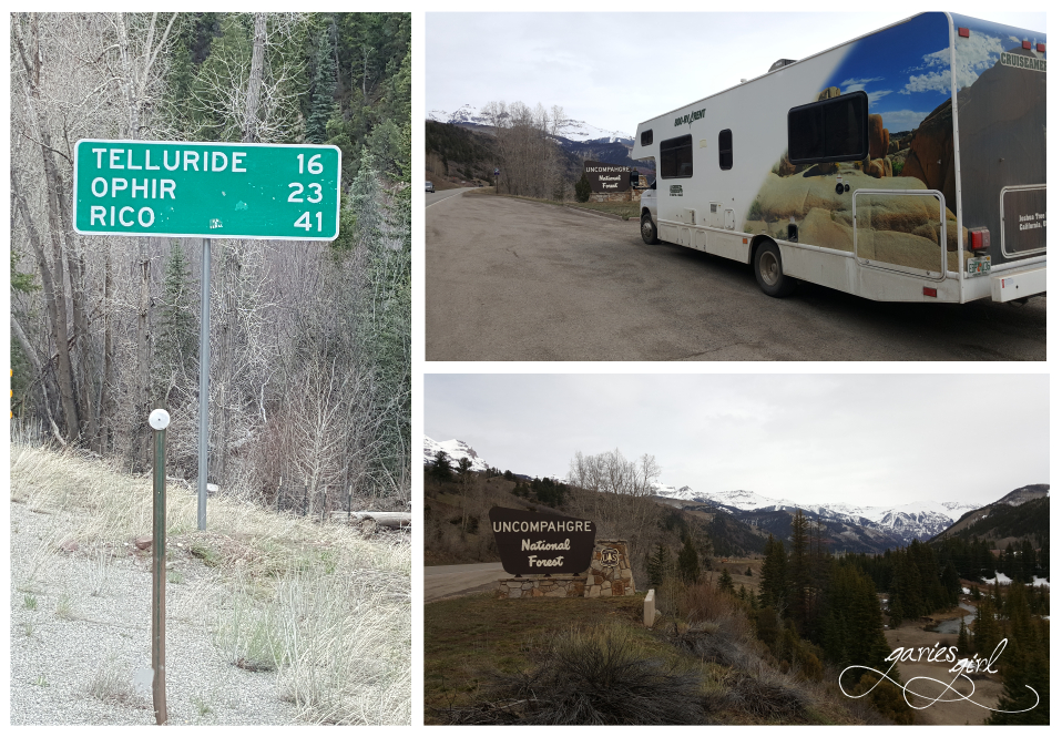
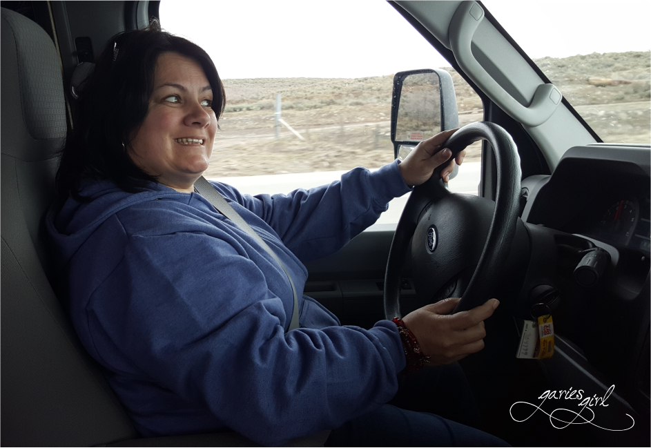
We followed the road through town until it ended at the Idarado Mining Company property. Here we turned the RV around and headed back the way we came. While it is a beautiful little town, tucked away in the mountains, we decided to move on and do our skiing in Leadville, CO. I even felt comfortable driving for a while and Pieter was able to get a feel for what it was like riding in the back of the RV.
We got back to Ridgway and turned north to Montrose and then east to Gunnison. We couldn’t find a spot in a local RV park, so decided to book into a hotel for the night. It was a long day and we were pretty tired. After some local pizza, we got to bed early.
Day 6: Gunnison to Leadville, CO – 117 miles
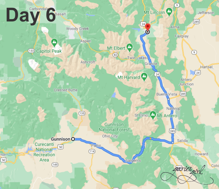
Another cold morning and another looming snow storm. This storm sounded more serious than the others we’ve seen till now. We left Gunnison early and soon realized we were one of very few vehicles on the road. We followed a snow plow for a while and saw some pending road closure warnings, but nothing that indicated we shouldn’t continue.
We got to Monarch Pass and started to worry about the state of the road and the snow that was now coming down and reducing our visibility. Still optimistic, we kept on going. This was really a difficult pass to navigate in good weather. It got to the point where we couldn’t even see the road anymore and had to rely on the road markers on the side. Pieter is a great driver and while I had to move to the back of the RV to calm down, he just continued on like it was a walk drive in the park.

We made it over the mountain and down the other side and pulled into Poncha Spring’s first gas station to fill up on gas, and to also catch our breath. Here Pieter admitted to a couple of close calls and that we probably should not have crossed this pass in the middle of a snow storm! Very scary indeed, but we were thankful to be down in the valley again for sure!
The weather started to clear and we were able to take in some pretty scenery on the way to Leadville. We continued north and covered the 58 miles between Poncha Springs and Leadville in no time.

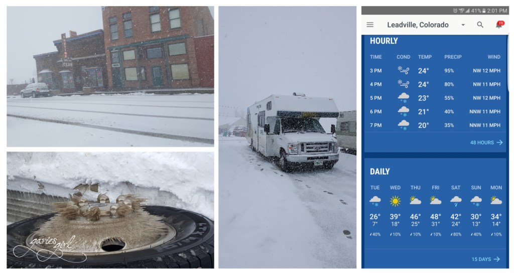
We arrived in Leadville while the weather was still nice and clear, but it was obvious that it has been snowing hard for a while. Sidewalks were covered and it was very cold. We walked around a bit to get out of the RV and look at all the interesting buildings.
We found a spot at Leadville RV Corral, an RV park conveniently located right in town. We were able to park our RV and walk right back to the downtown area for dinner at a local Chinese restaurant called Szechuan Taste II. It was not busy at all, which made us doubt our dinner choice, but the kids picked it and the food looked great. We were not disappointed in the end.
It was getting cold and we headed back to our RV for what ended up being the coldest night of our whole trip. It got down to 7F, which is -13C! The good news was that the next day was going to be a nice sunny day, perfect for skiing!
Continue to Part 3 for the conclusion of our Colorado RV Trip!

One thought